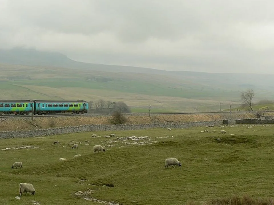
Ribblehead is the railway stop for seeing the viaduct from the surrounding moorland. The published station-to-viaduct approach is approximately half a mile, while the viaduct is already visible from the platforms and station car park. We separate that short viewing visit from a Whernside circuit: they use the same landscape but need different walking plans and different return-train decisions.
From the station, descend the drive and turn right along the B6255. After the cattle grid, the public bridleway leads left towards the foot of the viaduct. The railway heritage project describes rough ground on the approach; the national park access hub describes the main viaduct bridleway as wide, firm gravel. Those descriptions concern particular parts of the route, so they do not establish a completely level or obstacle-free journey from every platform.
The open ground allows views of the viaduct’s outline as well as closer views of the arches. Stand on public paths and choose a position that leaves other walkers space to pass. The high Dales setting is exposed, and weather can change quickly. A planned photograph of a train crossing needs an actual service calling or passing on the intended day; ordinary scheduled trains and a steam excursion are separate possibilities, not interchangeable promises.
The Station Inn offers a nearby place to eat or stay through its own current booking routes. Its location beside the viaduct can make a pause attractive, but a table or room still needs its own arrangement. For the railway journey, Northern’s Leeds–Carlisle timetable is the useful starting point. Decide the return train before leaving the station, then choose whether the outing is a viewpoint visit, a meal or a longer hill walk. An ambitious summit circuit should not be squeezed into the gap between two trains chosen for a short stop on the same day.
Our choices and how to plan them
The station walk and viewing positions
The approximately half-mile walk starts down Ribblehead station drive, follows the B6255 to the right, then turns left after the cattle grid onto the public bridleway. The viaduct is visible before reaching its foot, including from the station platforms and car park. Choose the wider landscape for an outline photograph or the lower approach for the scale of the arches. The station approach and rougher ground need their own access assessment; the firm gravel section described by the national park is not a guarantee for the whole walk from a train.12
The Station Inn and the Whernside option
The Station Inn’s official site currently offers room and table booking beside Ribblehead Viaduct. Use those live details for a planned meal or overnight stop. The national park’s dedicated Whernside route describes an approximately 7.5-mile circuit from the viaduct, with ascent, ridge walking and a steeper descent. That is a separate hill day with exposed ground, not a small extension to the station walk. Match it to suitable conditions, equipment and the actual trains, and keep the short viaduct visit available as the simpler alternative.43
Access and trains
Northern publishes the current Leeds–Carlisle timetable under its timetable directory. Check whether the selected train calls at Ribblehead and which return journey makes the intended visit possible. The published viaduct access information distinguishes the open approach from the firm main bridleway, while the station-to-road leg has its own gradients and surface. We use those specific descriptions when choosing a viewing position. Neither a scheduled timetable nor this walking route guarantees a steam locomotive; follow an excursion operator’s own programme if that is the photograph being planned.52
Plan a weekend
For a railway-and-Dales break, compare places to stay around Settle with the trains calling at Ribblehead. A room search does not establish a connection or availability for the intended night.
Some links earn us a small commission at no extra cost to you.
Frequently asked questions
How far is the viaduct from Ribblehead station?
The railway heritage project publishes an approximately half-mile approach from the station to the viaduct.
Is the whole approach step-free?
Do not assume it is. Read the station and path access details: rougher ground, road-side approach and the main gravel bridleway are different parts of the visit.
Can I add Whernside to a quick train stop?
Treat the published 7.5-mile Whernside circuit as a separate hill outing, with suitable conditions and a return train that fits it.